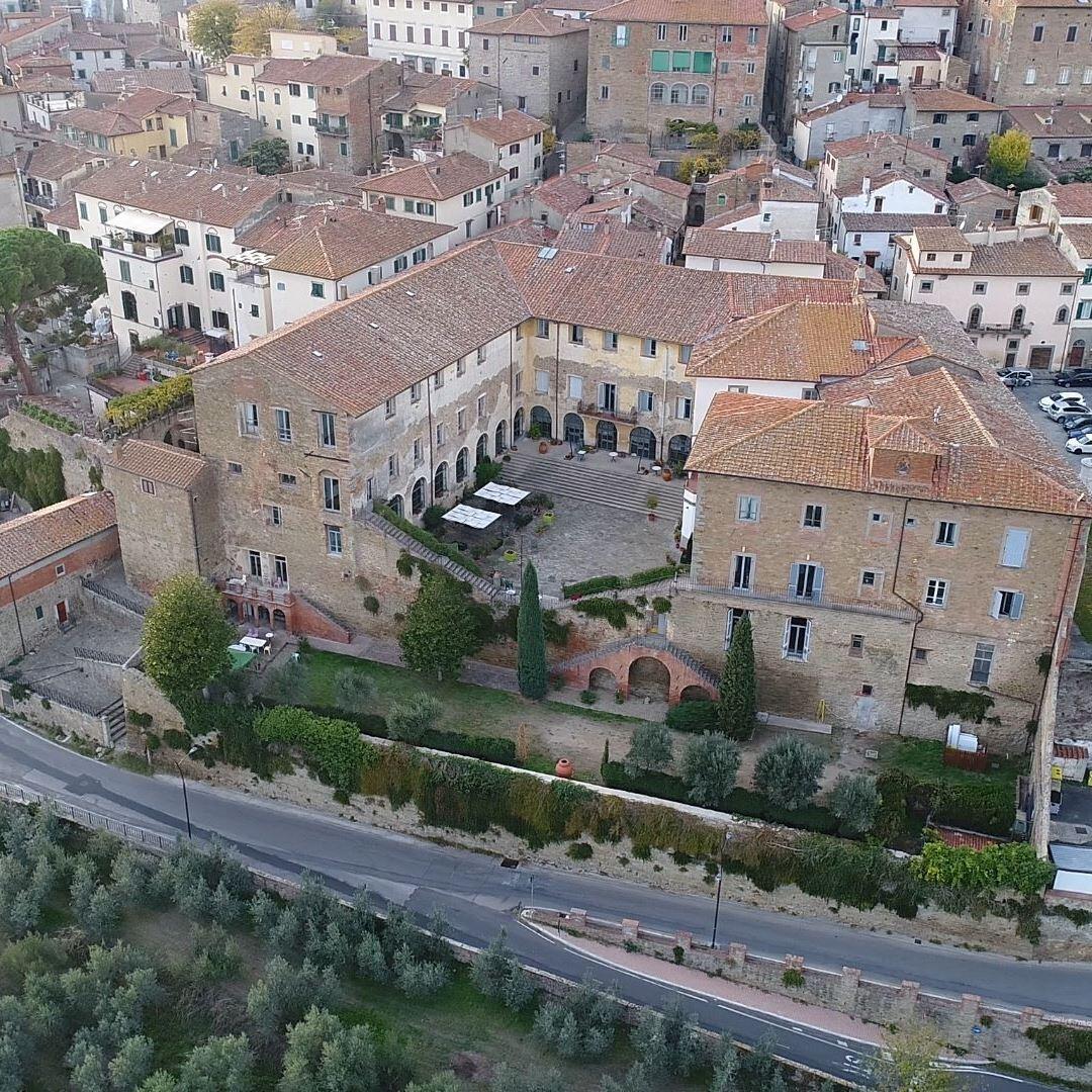

 ITA
ITAMore information :
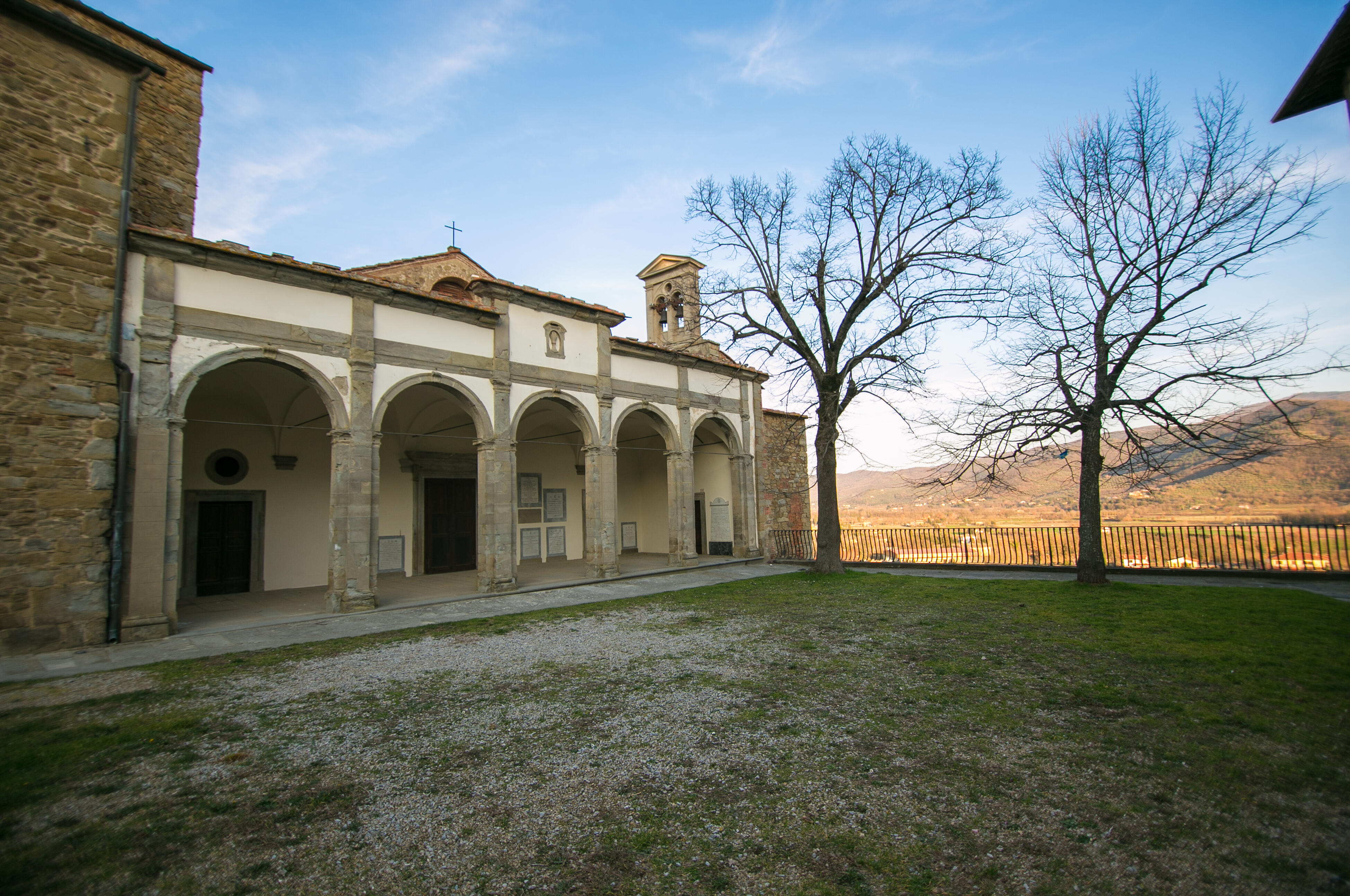
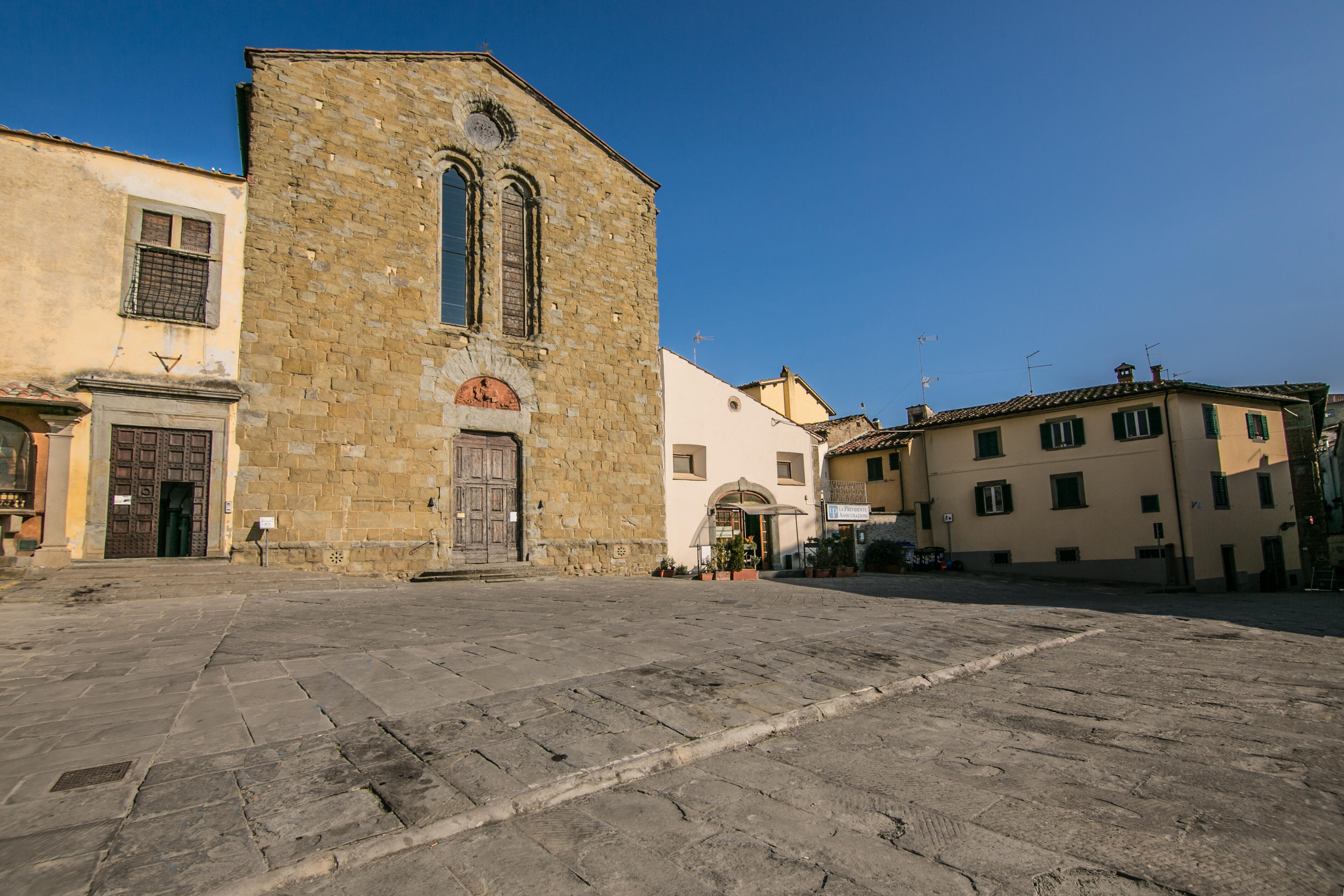
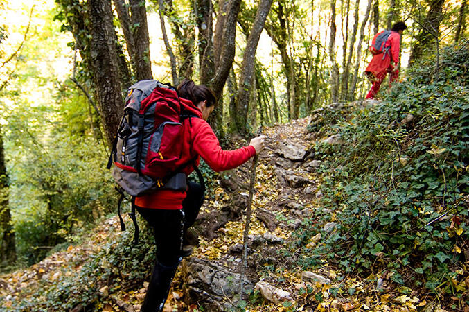
The surrounding countryside is dotted with trails and paths suitable for all needs, whether you want to stroll surrounded by rural landscapes or venture through woods and paths to explore unspoiled places.
Trail maps are available at:
https://www.whip.live/in/collection/vudcgqqt07mpb2hlukcmt0erol
1. The Badia Trail winds through the hills north of the Val di Chio, passing through woods, small isolated villages, and abandoned sites, such as the evocative Badia di Largnano. The route follows dirt roads and small paths and is suitable for more experienced hikers. It is a circular trail.
- Start and finish: Poggio Fontanina
- Length: 7.2 km
- Elevation gain: 210 m
- Accessibility: on foot
- Map: https://www.whip.live/route/q39hdves
2. The Sentiero del Romitorio starts at the foot of Montecchio Castle and climbs the slopes of Mount Sant'Egidio, reaching the Parco delle Comunanze. It is a trail suitable for experienced hikers, overlooking the Valdichiana valley, offering wonderful views and panoramas.
- Start and finish: Montecchio Castle
- Length: 8.1 km
- Elevation gain: 162 m
- Accessibility: on foot
- Map: https://www.whip.live/route/hipv2pgf
3. The Stradone Granduca Pietro Leopoldo is a dirt road that runs alongside sunflower fields and ancient farms. Along the way, you can admire the famous Leopoldine, typical Valdichiana farmhouses dating back to the late 18th century. The trail can be easily explored on foot or by bicycle.
- Start and finish: hamlet of Montecchio
- Length: 4.3 km
- Elevation gain: 20 m
- Accessibility: on foot and by bicycle
- Map: https://www.whip.live/route/7gl5gruu
4. The Percorso degli Antichi Mulini winds through the Val di Chio, following the ancient Cilone stream. The dirt trail is immersed in the valley's rural landscape, surrounded by cultivated fields, making it perfect for even less experienced hikers and cyclists. It is a circular trail.
- Start and finish: Mulinaccio in Pieve di Chio
- Length: 9.4 km
- Elevation gain: 22 m
- Accessible: on foot and by bike
- Map: https://www.whip.live/route/hn6hvbrj
5. The Olive Trail is a circular route that starts from the Cilone Park picnic area and crosses the Val di Chio countryside, climbing through olive groves and vineyards to Santa Cristina and Taragnano. The route requires minimal walking experience.
- Start and finish: Cilone Park
- Length: 4.3 km
- Elevation gain: 56 m
- Accessible: on foot
- Map: https://www.whip.live/route/35h2v7rm
6. The Sentiero delle Sorgenti (Spring Trail) starts from the Comunanze Park and reaches the picturesque Lupinara and Spisciaracchia springs. The route is mostly uphill, on dirt roads, through pine forests and deciduous woods and is suitable for experienced hikers. It is a circular trail.
- Start and finish: Comunanze Park
- Length: 5.1 km
- Elevation gain: 164 m
- Accessibility: on foot
- Map: https://www.whip.live/route/j7nm1sc7
7. Starting from the Hermitage of San Lorenzo, the Sensory Trail winds through ridges, woods, meadows, and broom bushes, climbing until it reaches, with a small detour, the Montanina Castle. The trail is of hiking difficulty, suitable for experienced hikers. It is a circular trail.
- Start and finish: Hermitage of San Lorenzo
- Length: 4.1 km
- Elevation gain: 141 m
- Accessibility: on foot
- Map: https://www.whip.live/route/31pjmb7v
8. The "Vittorio Fossombroni" Reclamation Trail is a green route that connects Arezzo to Chiusi, running along the Canale Maestro della Chiana. The route, suitable for all walkers, passes through twelve municipalities, including Castiglion Fiorentino.
- Length: 60.2 km
- Elevation gain: 18 m
- Accessibility: on foot and by bike
- Map: https://www.whip.live/route/bjc68d00e