
 ENG
ENGMaggiori informazioni :
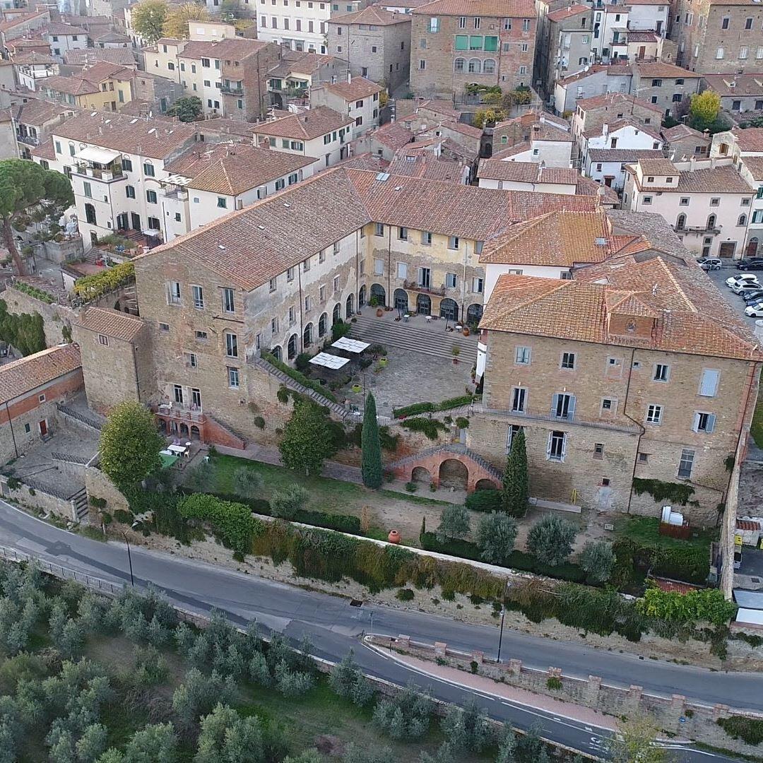
Le campagne circostanti sono disseminate di sentieri e percorsi adatti a qualsiasi esigenza, sia che vogliate passeggiare circondati da paesaggi rurali oppure avventurarvi attraverso boschi e viottoli esplorando luoghi incontaminati.
Le mappe dei sentieri sono consultabili al sito:
https://www.whip.live/in/collection/vudcgqqt07mpb2hlukcmt0erol
1. Il Sentiero della Badia si snoda sulle colline a nord della Val di Chio, attraversa boschi, piccoli borghi isolati e luoghi abbandonati, come la suggestiva Badia di Largnano. Il percorso si sviluppa su strade sterrate e piccoli sentieri ed è adatto ai camminatori più esperti. È un sentiero ad anello.
- Partenza e arrivo: Poggio Fontanina
- Lunghezza: 7,2 km
- Dislivello Positivo: 210 m
- Percorribilità: a piedi
- Mappa: https://www.whip.live/route/q39hdves
2. Il Sentiero del Romitorio parte dai piedi del Castello di Montecchio per salire lungo le pendici del Monte Sant’Egidio raggiungendo il Parco delle Comunanze. È un percorso adatto a camminatori esperti, che si affaccia sulla Valdichiana offrendo scorci e panorami meravigliosi.
- Partenza e arrivo: Castello di Montecchio
- Lunghezza: 8,1 km
- Dislivello positivo: 162 m
- Percorribilità: a piedi
- Mappa: https://www.whip.live/route/hipv2pgf
3. Lo Stradone Granduca Pietro Leopoldo è una strada bianca che costeggia campi di girasoli e antiche fattorie; lungo il tragitto è possibile ammirare le famose Leopoldine, case contadine tipiche della Valdichiana di fine ‘700. Il sentiero può essere facilmente percorso a piedi o in bicicletta.
- Partenza e arrivo: frazione di Montecchio
- Lunghezza: 4,3 km
- Dislivello positivo: 20 m
- Percorribilità: a piedi e in bici
- Mappa: https://www.whip.live/route/7gl5gruu
4. Il Percorso degli Antichi Mulini si snoda attraverso la Val di Chio, lungo il tracciato dell’antico torrente Cilone. Il sentiero sterrato è immerso nel paesaggio rurale della valle, circondato da campi coltivati, perfetto anche per gli escursionisti meno esperti e i ciclisti. È un sentiero ad anello.
- Partenza e arrivo: Mulinaccio a Pieve di Chio
- Lunghezza: 9,4 km
- Dislivello positivo: 22 m
- Percorribilità: a piedi e in bici
- Mappa: https://www.whip.live/route/hn6hvbrj
5. Il Sentiero degli Olivi è un percorso ad anello che parte dall’area attrezzata del Parco del Cilone e attraversa la campagna della Val di Chio salendo, tra olivi e vigneti, fino a Santa Cristina e Taragnano. Il percorso richiede una minima abitudine al cammino.
- Partenza e arrivo: Parco del Cilone
- Lunghezza: 4,3 km
- Dislivello positivo: 56 m
- Percorribilità: a piedi
- Mappa: https://www.whip.live/route/35h2v7rm
6. Il Sentiero delle Sorgenti parte dal Parco delle Comunanze e raggiunge le suggestive sorgenti Lupinara e Spisciaracchia. Il percorso si sviluppa prevalentemente in salita, su strade sterrate, attraversando pinete e boschi di latifoglie ed è adatto a camminatori esperti. È un sentiero ad anello.
- Partenza e arrivo: Parco delle Comunanze
- Lunghezza: 5,1 km
- Dislivello positivo: 164 m
- Percorribilità: a piedi
- Mappa: https://www.whip.live/route/j7nm1sc7
7. Partendo dall’Eremo di San Lorenzo, il Percorso Sensoriale si snoda tra crinali, boschi, prati e ginestre salendo fino ad arrivare, con una piccola deviazione, nei pressi del Castello della Montanina. La difficoltà del percorso è di tipo escursionistico, adatto a buoni camminatori. È un sentiero ad anello.
- Partenza e arrivo: Eremo di San Lorenzo
- Lunghezza: 4,1 km
- Dislivello positivo: 141 m
- Percorribilità: a piedi
- Mappa: https://www.whip.live/route/31pjmb7v
8. Il Sentiero della Bonifica “Vittorio Fossombroni” è un itinerario immerso nel verde che unisce Arezzo a Chiusi, costeggiando il Canale Maestro della Chiana. Il percorso, adatto a tutti i camminatori, attraversa dodici comuni, tra cui Castiglion Fiorentino.
- Lunghezza: 60,2 Km
- Dislivello positivo: 18 m
- Percorribilità: a piedi e in bici
- Mappa: https://www.whip.live/route/bjc68d00e